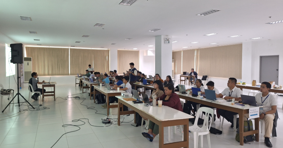
The Philippine Disaster Resilience Foundation (PDRF), in partnership with the National Mapping and Resources Information Authority (NAMRIA), conducted the Basic Geographic Information System (GIS) training course for the local government of Antipolo City on June 1-5, 2026 at the Antipolo Municipal Hall. This training is part of the implementation of the Global Affairs Canada-funded project Building Resilience through Inclusive Development and Gender Equality (BRIDGE).
A total of 31 personnels from various City Offices of Antipolo participated in the five-day training course and learned about capturing, visualizing, analysing, and managing spatial and geographic information and how they can apply these in the performance of their respective office mandates, particularly in the planning and implementation of development programs and disaster risk reduction and management.
This training program contributes to BRIDGE Project’s bigger goal of improving the policies and implementation of gender-responsive, climate and disaster-resilient integrated water resources management by local institutions in Antipolo and Baguio.
Following the two partner city government’s successful completion of the Basic GIS Training, the NAMRIA-certified personnel are now set to proceed and take up the Advanced GIS Training course in the coming weeks.