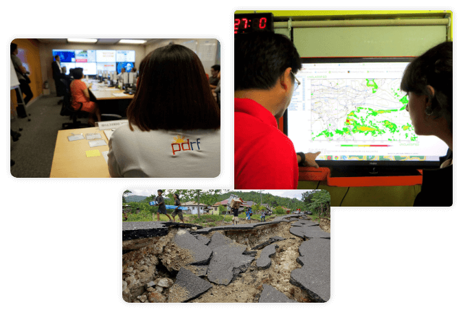
Emergency Operations Center

Disaster Information Management System

In any disaster, there is widespread confusion, breakdown of communication, and disorder. As seen in past disasters like Yolanda, there is a lag in government responses to the needs of businesses and establishments in the Philippines.

To address this, PDRF implements a Disaster Information Management (DIM) system which integrates all reliable, accurate, and timely information on disaster management. The DIM System employs the customized ArcGIS Online platform from ESRI called HANDA or Hazard and Disaster Analysis for Business Resilience. PDRF-HANDA serves as a unified platform that eliminates the waiting time and provides focused efforts that enable member companies to assess and reduce their risk prior to potential disasters. The platform also allows these companies to plan relief and rehabilitation efforts that complement business continuity plans and programs.

Key Features of HANDA

Incident Reporting

This feature allows the PDRF network to report natural hazard-related incidents that can be coordinated with member companies, the PDRF Emergency Operations Center (EOC), and the NDRRMC for immediate response.

Incident Monitoring

PDRF donor companies can monitor incidents reported by their offices/units across the country using the incident monitoring dashboard. Through this dashboard, PDRF and its member companies are able to monitor incidents that have already been coordinated with proper authorities.

Incident Management

The incident management application is the ticketing system of the PDRF EOC. It helps PDRF manage all reported incidents within the network.

Hazard Monitoring

Containing geohazard data from various government agencies, the hazard monitoring application allows PDRF members to plot their facilities’ assets and properly assess the threats presented by different hazards around the country.

PDRF also uses a global hazard monitoring platform called EMOPS which was created by the Pacific Disaster Centre. EMOPS utilizes data from reliable global sources to provide timely information on different hazards in the world.

Together with PHIVOLCS, PDRF also utilizes the Rapid Earthquake Damage Assessment System – Earthquake and Tsunami Alerting Module (REDAS – ETAM), which alerts the EOC when an earthquake with a magnitude of 5.0 and above occurs anywhere around the world. This helps the EOC assess the possible impacts to the country and the business sector.

Dam Level Monitoring

La Niña Dashboard

The La Niña Dashboard, linked with the El Niño Dashboard, serves as a crucial tool for monitoring and assessing the onset of La Niña events. This comprehensive tool integrates forecasts of La Niña occurrences, with forecast data sourced from PAGASA. It features detailed susceptibility maps that highlight areas at risk, enabling targeted risk management and preparation. Additionally, the dashboard provides up-to-date monthly rainfall forecasts to help anticipate potential impacts and plan accordingly. Real-time dam level data is also included, facilitating effective monitoring of water resources. Overall, the La Niña Dashboard is an essential resource for evaluating the potential impacts of La Niña and preparing for associated risks.

El Niño Dashboard

The El Niño Dashboard, developed by PDRF, is a comprehensive tool designed to effectively manage El Niño events. This platform serves as a one-stop shop, offering real-time data on dam levels and drought assessments, and integrates forecasts and information from the Philippine Atmospheric, Geophysical, and Astronomical Services Administration (PAGASA). It also provides insights into private sector initiatives, promoting a unified approach to tackling the challenges posed by El Niño. This comprehensive tool supports a whole-of-nation strategy for resilience and response amid El Niño.